























CNES #6

Space for Earth & Humanity
Green space : Protecting forests from above
Despite increased global awareness, deforestation continues at an alarming rate, with approximately 4.7 million hectares of forests lost annually between 2010 and 2020, according to the UN Food and Agriculture Organization. The most recent satellite data reveals that primary forest loss in the tropics increased by 12% in 2020 compared to 2019, releasing carbon equivalent to the annual emissions of 570 million cars.
CNES #6
CHALLENGE FROM

FROM SPACE
The high-resolution imagery and analytical capabilities of Earth observation satellites transform our ability to track, measure, and respond to challenges that impede sustainable development worldwide. You could develop an AI-powered deforestation monitoring and prediction system that uses satellite imagery to track forest cover changes, predict areas at risk, and provide actionable insights to conservation organizations and local communities. Some technical and operational challenges are :
• Satellite data acquisition and processing, harmonizing data from different sources with varying resolutions and spectral bands.
• AI model development and performance : algorithms that work across diverse forest types, distinguish between natural forest changes and human-caused deforestation, ...
• Validation : obtaining reliable ground truth data for training and validation, seasonal changes affecting forest appearance...
• Real-time monitoring : efficient satellite acquisition to insight generation, rapid alert systems with quick response.
• Predictive analytics complexity : incorporate economic, political, social factors.
• Balance conservation with legitimate development needs.
• Satellite data acquisition and processing, harmonizing data from different sources with varying resolutions and spectral bands.
• AI model development and performance : algorithms that work across diverse forest types, distinguish between natural forest changes and human-caused deforestation, ...
• Validation : obtaining reliable ground truth data for training and validation, seasonal changes affecting forest appearance...
• Real-time monitoring : efficient satellite acquisition to insight generation, rapid alert systems with quick response.
• Predictive analytics complexity : incorporate economic, political, social factors.
• Balance conservation with legitimate development needs.
TO THE CHALLENGE
Your challenge is to create a sustainable business models for ongoing operation and for securing long-term funding for system maintenance and updates. Identify key partners who can contribute to the project's success : government agencies, non governmental organizations, indigenous communities.
ACTINSPACE BUSINESS SECTORS

Tomorrow, it starts. 🌍🚀

Les inscriptions sont ouvertes ! 🚀✨
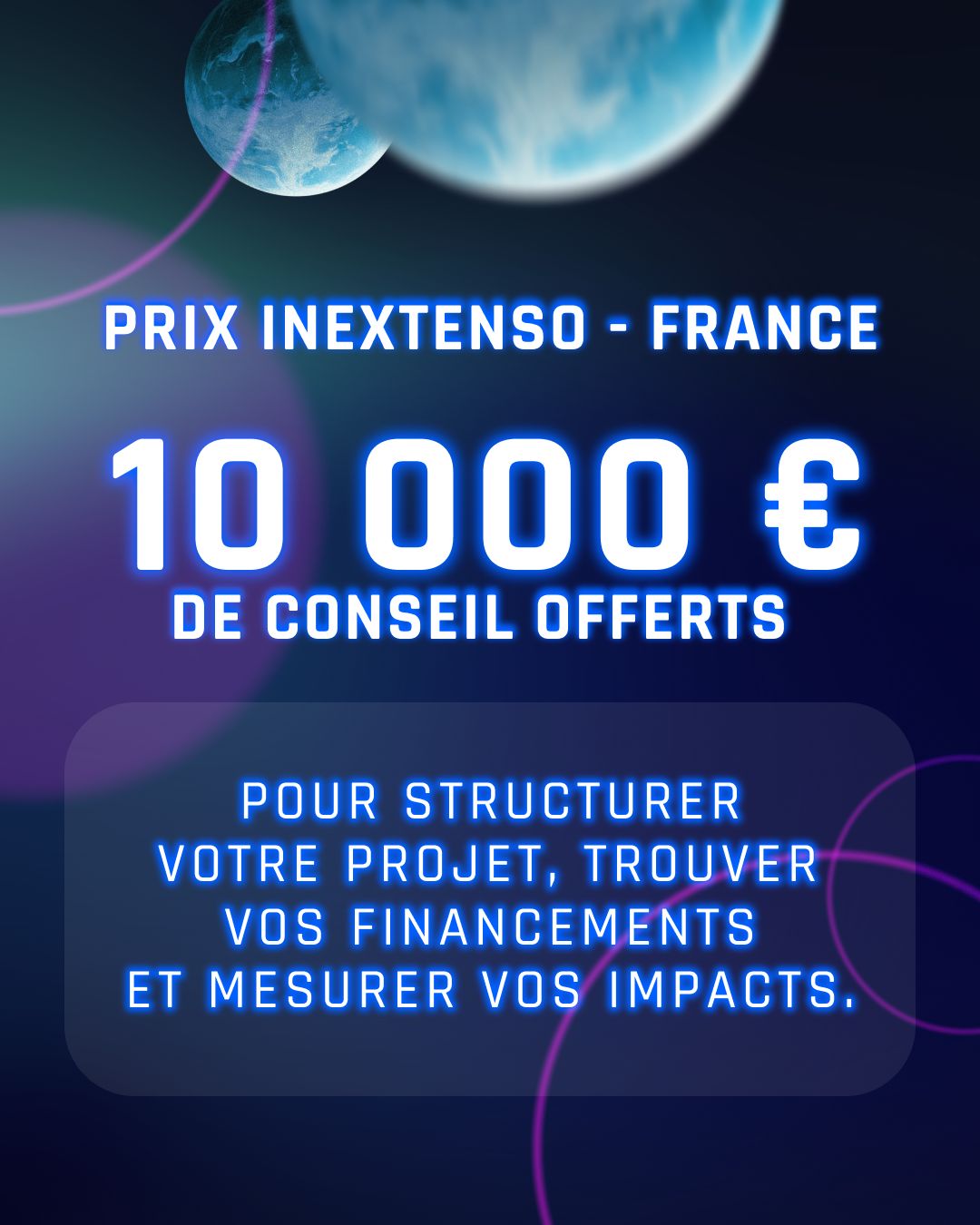
Le Prix In Extenso offre à l’équipe lauréate 10 000 € de conseil ✨